By: Patrick Lohmann / Source New Mexico
September 21, 2021
When rural New Mexicans gather each year for “la limpia de la acequia,” it’s about more than just clearing the vital irrigation channels of dirt and debris, according to the New Mexico Acequia Association.
The annual ritual, in fact, shows how communities are shaped around acequias and why political districts should be drawn with the ditches in mind. Having an acequia builds a sense of neighborliness through water-sharing agreements and the annual cleaning, the association argues; and democracy emerges through regular maintenance meetings.
“These social and cultural traditions have resulted in the creation of cultural-political watershed representation and associated voting blocks,” the association wrote earlier this month to the Citizen Redistricting Committee, “otherwise known as communities of interest under the Redistricting Act.”
Keeping so-called “communities of interest” intact is one factor for the map-makers tasked with drawing boundaries that will shape the political process in New Mexico for a decade or more. Other factors include keeping the number of people per district roughly the same and ensuring the districts are compact and contiguous.
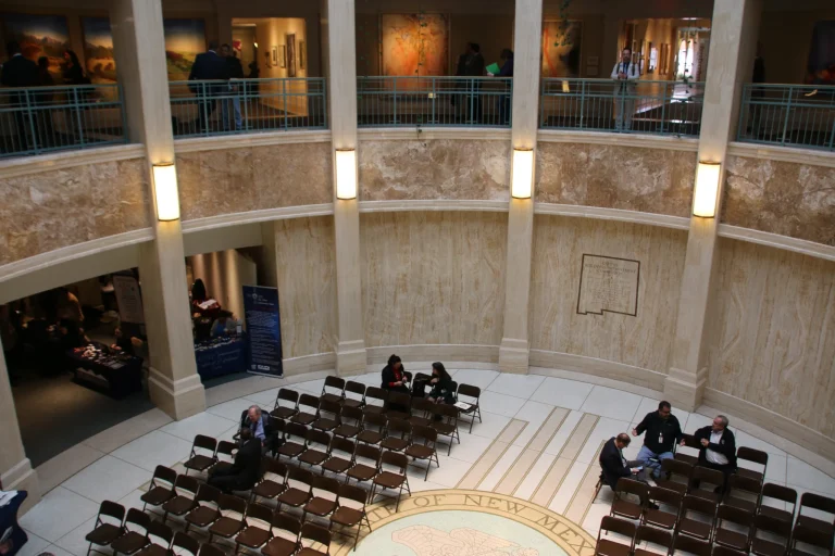
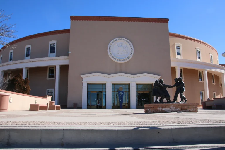
The citizen-led committee has gathered public input since early August and drew up concept maps in response to what members heard over the course of 10 public meetings. The committee heard from dozens of different interest groups and residents seeking to influence how political boundaries are drawn and, in turn, who wields power at the state and federal level.
The commission is now seeking input on those maps before drawing up final recommendations for the New Mexico Legislature.
The state acequia association, led by Mora County resident Paula Garcia, has twice made its case before the committee in recent weeks. Both times, she’s stressed how acequias have come to define local communities and how new maps shouldn’t divide them.
“Acequia communities share a common culture that is rooted in history of small-scale agriculture and water governance,” she told the committee.
Acequias are a vital part of life in north-central New Mexico. They comprise an irrigation system in the state formed in the 16th century through a combination of Indigenous and Spanish practices.
Today, more than one-quarter of all irrigated acres in the state draw water from acequias. Counties that rely on acequias contribute $104 million in livestock market value and $84 million in agriculture market value, according to the association.
Functioning acequias are also key to the state’s plan to mitigate climate change, which is resulting in less snowpack and rainfall, plus higher average temperatures. A recent study said acequias could play a role in slowing the effects of drought here.
Most of New Mexico’s 640 acequias are clustered in the central-northern part of the state and fall within the state’s Third Congressional District. So Garcia is asking the committee to keep that federal district intact.
The state House and Senate districts are trickier, though, she said, because of declines in population in the northeastern part of the state. Mora County, for example, lost 15% of its residents in the last decade, the latest census figures show.
That means state House districts in the northeast will have to grow to encapsulate about 30,000 residents — the target for each House district. Map-makers aim to draw Senate districts as close to 50,000 residents as possible.
Garcia cautioned the committee that population losses in the east shouldn’t mean the acequia communities west of them get dragged into eastern districts. Doing so would weaken the acequia communities and the political power of Hispanics, which comprise a majority of the region.
“We just want to be careful that those districts don’t crack up the population of the acequia communities,” she said.
Her presentation didn’t directly address how the maps in the eastern part of the state should be drawn.
The association could not be reached for comment regarding whether the committee’s proposed maps, released last week, satisfied her concerns about losing political autonomy in acequia communities.
But the process is still far from over. The public can weigh in on the concept maps until mid-October, and then the Legislature will hold public debates.
Source New Mexico is part of States Newsroom, a network of news bureaus supported by grants and a coalition of donors as a 501c(3) public charity. Source New Mexico maintains editorial independence. Contact Editor Marisa Demarco for questions: info@sourcenm.com. Follow Source New Mexico on Facebook and Twitter.